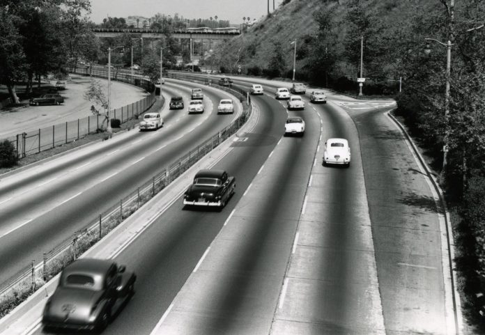
The Arroyo Seco Parkway was opened on December 30, 1940, becoming the first freeway in America west of the Mississippi. It became a vital link between downtown L.A. and Pasadena and a gateway transportation corridor linking the Greater Los Angeles communities with the San Gabriel Valley.
A storm channel is also constructed (primarily for flood control).
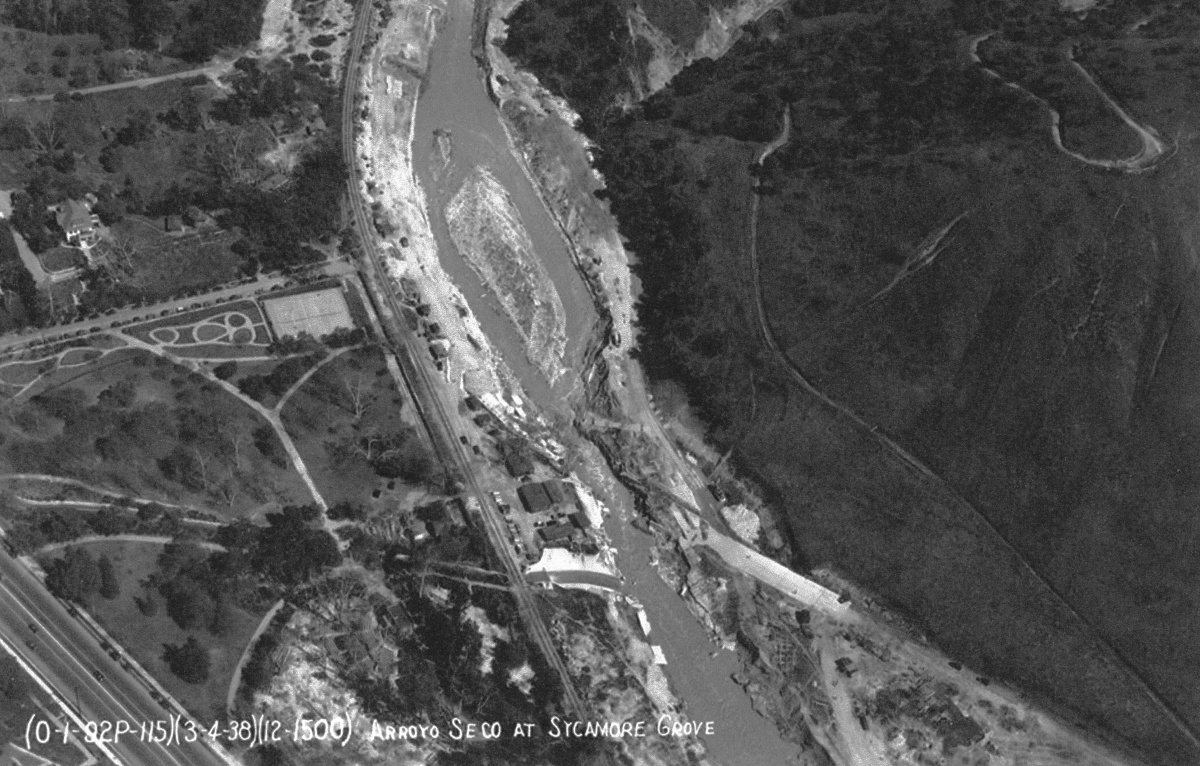
For most of the year, the stream that ran through the center of the arroyo was hardly visible. It appeared as a thin wet crease in the low-profile fold of the dry wash. However, in the 1930s serval rainstorms wreaked havoc on the region. In the photo above, the Arroyo Seco at Sycamore Grove Park shows the washed out road and bridge caused by the 1938 flood.
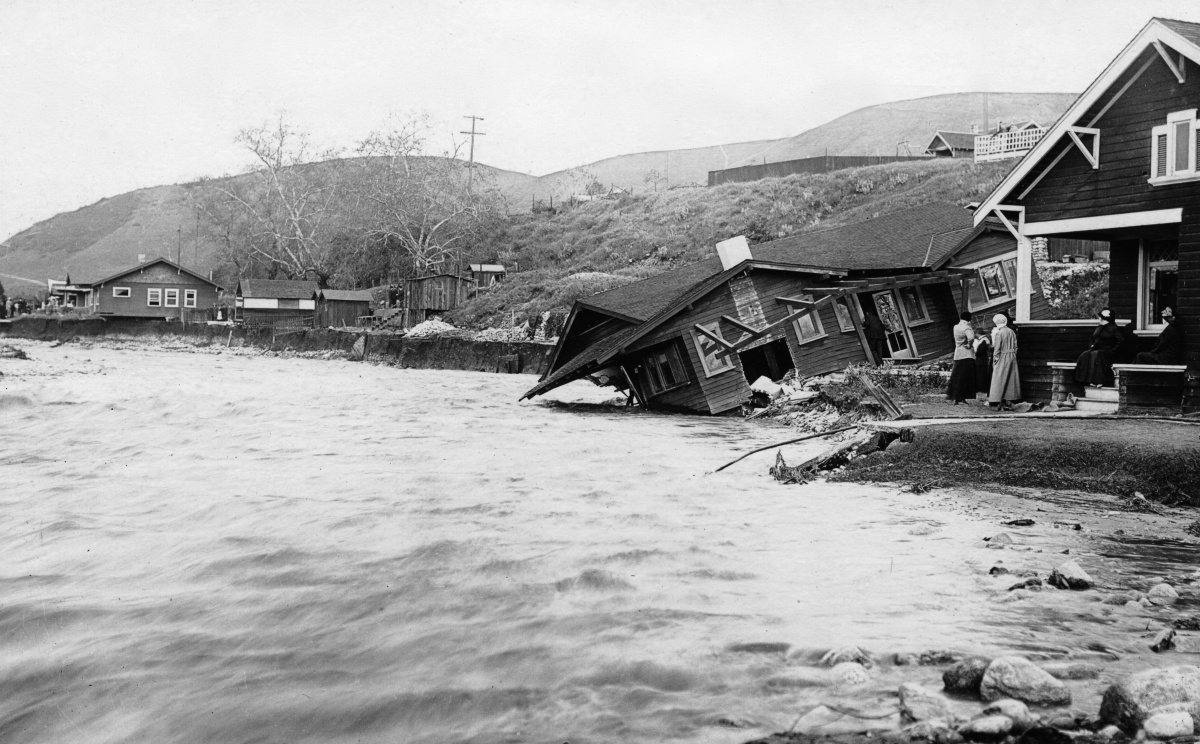
Many of the homes along the Arroyo Seco were destroyed and swept away.

The Arroyo Seco Parkway runs alongside the storm channel in several places. In the above photo, notice the tunnel used initially for traffic moving in both directions. Traffic soon began to back up when it reached capacity shortly after being constructed.
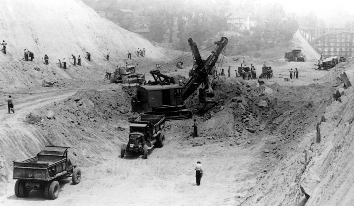
Excavation work began immediately to reduce the hill to the right of the tunnel and double traffic capacity. When completed, vehicle traffic only moved in one direction through the tunnel away from downtown Los Angeles.
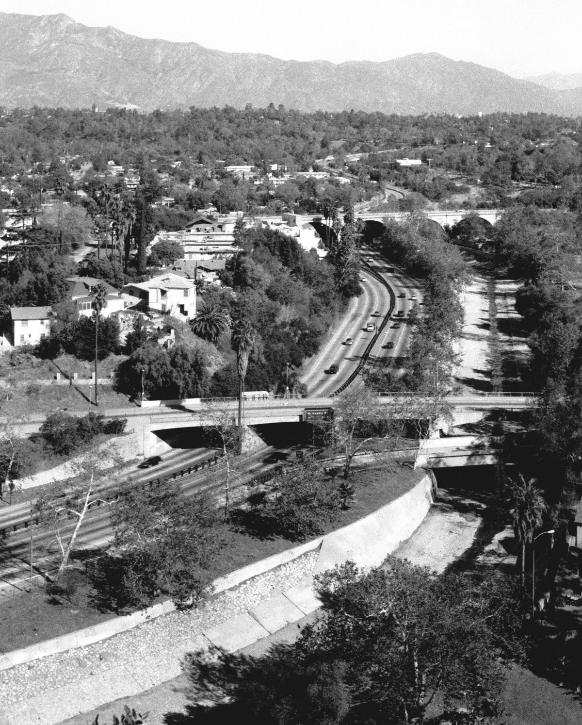
The original concept for the Arroyo Seco Parkway was to build an East-coast “sunken garden” style thoroughfare. Initially, the communities of the Arroyo Seco allowed their city boundaries to be divided by the six-lane highway.
But our story does not end here. The number of automobiles increase (along with speeds and accidents), and another new transportation corridor emerges linking the Los Angeles Port with the valley and the communities beyond (proposed 710 Freeway extension).
Throwback Thursday is written and produced by Rick Thomas













.png)







The first photo is not from 1946. There are several Fords from 1949-51 shown from the rear. (Those three years have the same sheet metal.) So the image is late-1948 at the earliest, and possibly early 1950s.