


















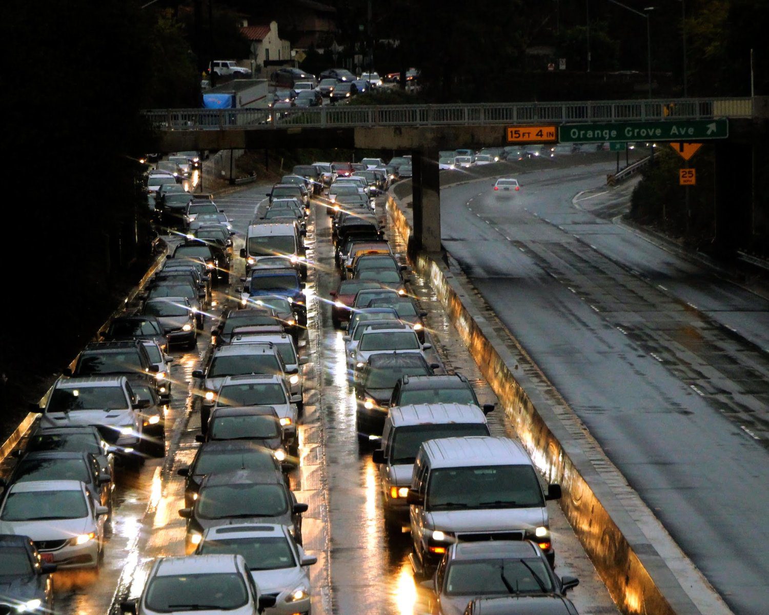

A significant winter rainstorm is set to impact the Los Angeles region beginning Monday, February 16, and continuing through at least Friday, February 20, accordin the National Weather Service.
The most intense period of rainfall is expected Monday between 6:00 a.m. and 6:00 p.m., with widespread impacts likely across the San Gabriel Valley, including South Pasadena.
Evacuation Warnings in Effect
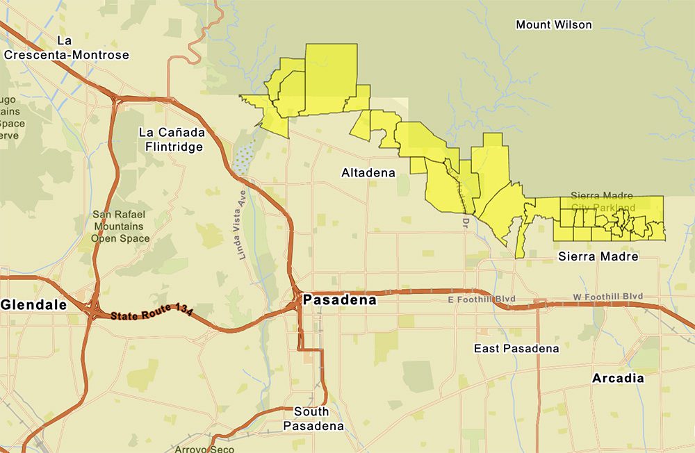
LA COUNTY: “February 14, 2026 at 12 PM: Evacuation Warnings are in effect for select parcels near recent burn areas, valid from Sunday, February 15, 2026 at 9PM through Tuesday, February 17, 2026 at 9AM, due to anticipated weather conditions that present a risk of debris and mudlflows that can damage property and pose a risk to personal safety.”
Rainfall Totals & Timing

• 2 to 4 inches of rain across the Los Angeles Basin
• 4 to 8 inches in the mountains and foothills
• Potential thunderstorms
• Elevated risk of debris flows near recent burn scars
With saturated soils already a concern from previous systems, even moderate rainfall rates could trigger rapid runoff, localized flooding, and mud or debris movement, particularly along hillside communities and canyon areas feeding into the Arroyo Seco watershed.
For South Pasadena residents, that means taking extra care – slow down and be watching low-lying intersections, freeway underpasses, and areas near the 110 corridor that historically collect standing water during heavier events.
What This Means for South Pasadena
While the City of Los Angeles issued the NotifyLA alert, the weather system impacts the entire region — including South Pasadena and neighboring communities.
Residents should prepare for:
• Possible power outages
• Flooding on roads and freeways
• Rapidly rising creeks and drainage channels
• Fallen trees or downed power lines
• Mud and debris flow concerns near fire-impacted hillsides
The San Gabriel Mountains above the city are forecast to receive significantly higher totals, increasing runoff potential downstream.
Travel Advisory: Stay Off the Roads If You Can
Emergency officials are urging residents to avoid driving during peak rainfall, especially Monday morning through late afternoon.
Never attempt to drive through flooded roadways — even shallow water can stall vehicles or conceal roadway damage.
How to Prepare Now
City and county officials recommend the following steps ahead of the storm:
• Secure outdoor furniture, umbrellas, and loose items
• Stock food, water, flashlights, batteries, and backup phone chargers
• Fully charge medical devices and prepare backup power if needed
• Bring pets indoors
• Pick up sandbags from local fire stations if your property is flood-prone
• Sign up for emergency alerts at NotifyLA.org
• Check on elderly neighbors or those who may need assistance
If you encounter life-threatening emergencies — such as flooding trapping residents or debris flows threatening homes — call 911 immediately. Non-emergency issues such as fallen trees or localized flooding can be reported through the City’s 3-1-1 system.
Residents are also reminded to treat all downed power lines as live and dangerous.
Ongoing Updates
Weather conditions can shift quickly. Residents are encouraged to monitor updates from the National Weather Service and local emergency management channels throughout the week.
SouthPasadenan.com will continue tracking local impacts and provide updates as conditions evolve.