

















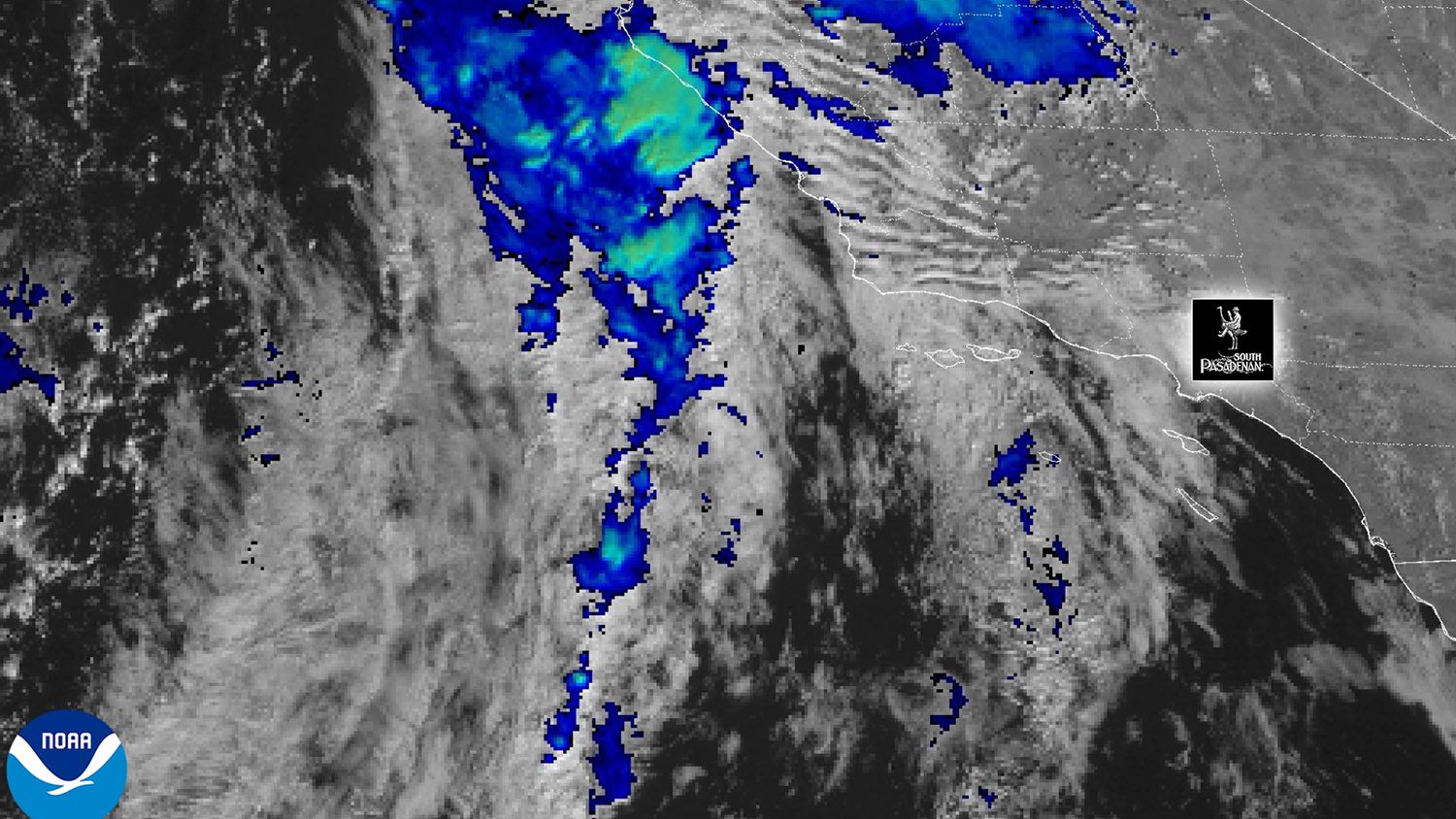

A significant Pacific storm is now on approach, but the forecast has shifted since our earlier report.
What was previously expected to be a Thursday-focused event has evolved into a long-duration storm running Thursday night through Saturday, with continued showers possible into Sunday. The volume of water is expected to be high, but spread out over a few days.
Storm Forecast Update
-
Timing adjustment:
Heavy rain is in the forecast, but no longer concentrated in a single Thursday window. Instead, the strongest and most consistent rainfall is now expected from late Thursday night through Friday, continuing into Saturday. -
Totals holding steady but spread out:
Valley areas (South Pasadena, Pasadena, San Marino, Alhambra, Highland Park) are still expected to receive 1–2 inches total, but this will fall over a much longer period.
Foothill areas (Altadena, La Cañada, northern Pasadena) remain the most vulnerable with 2–4 inches possible, particularly on south-facing slopes and recent burn-scar terrain.
-
Risk profile increasing for foothills:
Because the rain is spread across multiple days, soil saturation becomes a larger issue, raising the likelihood of mud and debris flows in burn-scar zones.
LA County has already issued Evacuation Warnings for several burn areas countywide, including the Eaton Fire scar above Pasadena.
Day-by-Day Forecast – NOAA Data (South Pasadena, Pasadena, SGV)
THURSDAY (Nov. 13)
-
Evening: First steady rain arrives after 9–10 p.m.
-
Totals through midnight: ~0.25–0.50 inches valley; slightly higher near foothills.
-
Winds: Light to moderate; nothing extreme.
FRIDAY (Nov. 14) – Heaviest Impact Window Begins
-
All day: On-and-off rain, cooler temps (highs only near the upper 50s).
-
Evening into overnight: Strongest rainfall of the entire event.
-
Expected Friday totals: 0.50–0.75 inches valley; 1+ inch foothills.
SATURDAY (Nov. 15)
-
Morning into late afternoon: Continued rain, possible isolated thunderstorms.
-
Additional totals: Up to another 1–2 inches possible in some areas.
-
This is the “long tail” of the storm—still impactful.
SUNDAY (Nov. 16)
-
Showers expected to taper-off over the day.
-
Possible clearing late in the day, early evening.
Travel & Commute
South Pasadena / Pasadena / San Marino / Alhambra
-
Expect a persistent, messy 48–60 hours of weather.
-
Roads will remain wet from Thursday night through Saturday night.
- Friday & Saturday will have the biggest travel delays, especially during peak commute hours.
ALTADENA, LA CAÑADA, FOOTHILL AREAS
-
The highest risk zones in this storm cycle.
-
With rain spread over several days, soil saturation will build, increasing the chance of mudflows, runoff, and debris movement.
-
Burn-scar areas (especially Eaton) are under Evacuation Warnings as a precaution.
What changed
The storm hasn’t weakened—it has changed shape. Instead of one concentrated shot of rain, we’re receiving a slow-moving, multi-day system. Total rainfall projections remain in the same range, but extended duration.