















UPDATED WEATHER REPORT & FORECAST TUESDAY 1 PM…
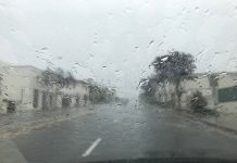
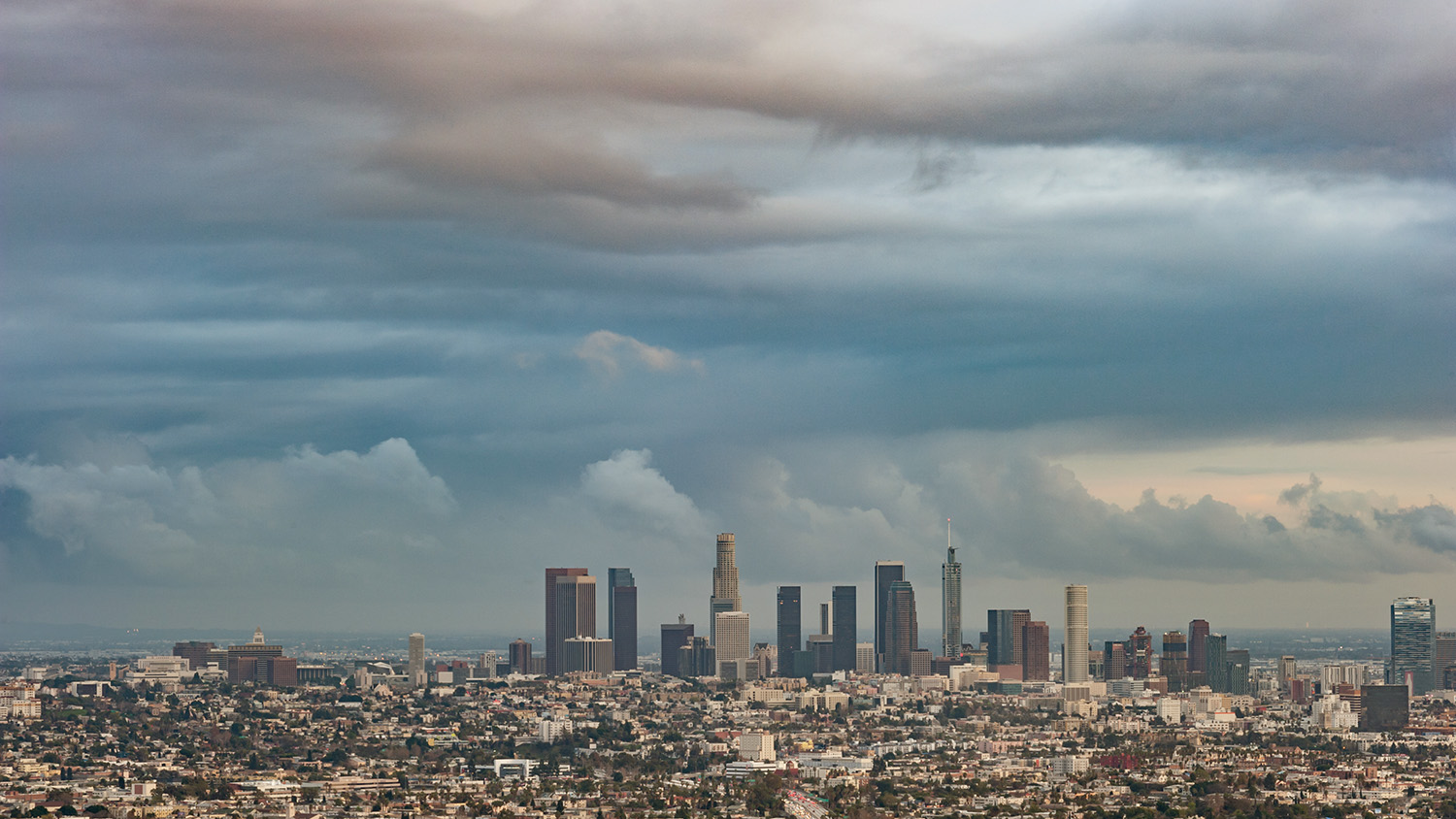
The ‘mostly sunny Tuesday’ in the forecast did not survive reality this morning. Rain has fallen across the San Gabriel Valley since mid-morning, and a thunderstorm brought downpours, thunder and lightning to the South Pasadena area around midday — part of a band of storms that closed Los Angeles County beaches and prompted a National Weather Service special weather statement.
At the same time, the weather service upgraded its heat warnings: An Extreme Heat Warning takes effect at 8 AM Wednesday for much of Los Angeles County, including the San Gabriel Valley, with temperatures of 92 to 108 degrees expected in the warned areas.
What Happened This Morning
Former Hurricane Marie did not stall and did not turn toward the coast — it weakened on its northwest track over the open Pacific, as forecast. What lingered is its moisture. The weather service’s morning forecast discussion reported tropical moisture from Marie still streaming across the region, with satellite showing partly cloudy skies and radar picking up showers and isolated thunderstorms over the coastal waters. Forecasters said the threat of showers and thunderstorms — with brief moderate to heavy downpours — would continue for most areas through the afternoon.
That threat verified quickly. Rain fell Tuesday morning in Burbank, Arcadia, Glendora, and at LAX and Manhattan Beach. Shortly before 9:30 AM, the weather service issued a special weather statement for a strong thunderstorm tracked near Whittier moving north at 15 mph — directly toward the San Gabriel Valley — warning of frequent lightning, pea-size hail and torrential rainfall capable of localized flooding. Lightning temporarily closed county beaches from Cabrillo to Zuma, with lifeguards ordering people out of the water and off the sand.

The storm-and-heat combination has one driver: Deep tropical moisture sitting under a building ridge of high pressure. Daytime heating destabilizes that moist air and fires afternoon storms; the same moisture is what will make the coming heat feel dangerous.
The Heat Arrives Despite The Extra Rain
Today’s clouds and rain only delay the heat. The current Heat Advisory runs until 8 AM Wednesday, when the Extreme Heat Warning takes over through 8 PM Wednesday — the peak of the event. Highs near 98 are forecast locally, with heat index values well above 100 given dew points holding near 70. Advisory-level heat is expected to continue into Thursday.
An Extreme Heat Warning is the weather service’s highest heat alert, issued when conditions pose a danger to anyone without effective cooling or hydration — not just sensitive groups.
UPDATED FORECAST
Tuesday: Showers and thunderstorms possible into the evening, locally heavy. Muggy overnight, low near 71.
Wednesday: Sunny, hot and humid — the peak. High near 98, heat index well above 100. Extreme Heat Warning 8 AM to 8 PM. Overnight low near 71.
Thursday: Sunny and hot, high near 96, advisory-level heat continuing. Overnight low near 68.
Friday: Sunny, near 90, heat easing.
Saturday & Sunday: Sunny, mid 80s — near seasonal norms.
Storm Safety Today, Heat Safety Tomorrow
Through this evening: if thunder is audible, lightning is close enough to strike — head indoors and stay out of pools and off open fields. Downpours can briefly flood intersections and underpasses; do not drive through standing water of unknown depth.
From Wednesday morning: limit outdoor activity to before 9 AM, drink water steadily, and check on older residents, people without air conditioning, and anyone living alone. Cooling center locations are available through 211, and libraries provide air conditioning during open hours. Grid operators ask residents to limit major electricity use between 4 and 9 PM.
Monday Night Weather Report:
The rain has (mostly) ended, but the tropical moisture Hurricane Marie pushed into Southern California remains — and with high pressure building over the region, it will fuel an unusually humid heat wave beginning Tuesday morning – along with some thunder and scattered showers.
The National Weather Service issued a Heat Advisory at 11:55 AM Monday, in effect from 10 AM Tuesday through 8 PM Thursday, with temperatures forecast 10 to 15 degrees above normal and humid conditions adding to the impact. Forecasters say the heat will peak Wednesday and the advisory may be extended into Friday.
Unusually Humid Event – Record Breaking Dew-Point?
The forecast for the Pasadena and South Pasadena area calls for a high near 94 Tuesday with a heat index as high as 106. Downtown Los Angeles is forecast to reach 96 with heat index values as high as 113. A heat index running 10 to 17 degrees above the air temperature reflects humidity levels rarely recorded in the Los Angeles basin.
The moisture is already in place. The dew point in downtown Los Angeles measured 70 degrees Monday evening, and some forecast models push local dew points into the mid to upper 70s by Wednesday afternoon — at or near the highest levels ever recorded in the area. Widely shared social media posts Monday describing record humidity and heat indices near 110 are consistent in substance with the official forecast.
Overnight lows will hold in the low 70s through Thursday morning, limiting the cooling that homes and bodies normally recover at night. Health officials note that sustained warm nights, combined with high humidity, are a larger driver of heat illness than daytime highs alone.
What A Dew Point Is, And Why This One Matters
Relative humidity rises and falls with the temperature throughout the day, even when the amount of moisture in the air does not change. Dew point measures the moisture itself, expressed as a temperature: the higher the dew point, the more water the air is holding.
As a guide: dew points in the 50s are dry and comfortable — a typical Los Angeles summer day, kept that way by the cool Pacific. Readings of 60 to 65 feel noticeably sticky. At 70, conditions match a humid summer day on the Gulf Coast or in Florida. Readings of 75 and above are among the most humid conditions recorded anywhere in the continental United States.
Los Angeles rarely reaches those levels because the cool ocean limits how much moisture the local air can carry. Model forecasts of a 77-degree dew point downtown on Wednesday describe air holding roughly twice the moisture of a typical September afternoon — moisture transported north by Marie and now held in place by high pressure. Whether or not a record is officially set, the physical effect is the same: the body cools itself by evaporating sweat, and at those moisture levels evaporation slows sharply. That is why 94 degrees is forecast to feel like 106, and why this heat wave warrants more caution than a typical dry September heat event.
Weather Forecast This Week – Heat Advisories In Effect For LA County
Tuesday: Mostly sunny and hot, high near 94, heat index up to 106. Overnight low around 71.
Wednesday: Sunny and hot, high near 98 — the forecast peak. Overnight low around 71.
Thursday: Sunny and hot, high near 96. Overnight low around 68. The advisory currently ends at 8 PM but may be extended.
Friday: Sunny, high near 90 as the heat begins to ease.
Saturday: Sunny, mid 80s.
Sunday: Sunny, mid 80s — near seasonal norms.
Hurricane Marie Moves-Off Into The Pacific
Marie, weakening well offshore, is expected to become a post-tropical remnant around Wednesday. Its remaining local impact is at the coast: high surf and coastal flood advisories continue through 11 PM Tuesday, with dangerous rip currents until then. The ocean water quality advisory issued after Sunday’s rain also remains in effect until at least 2 PM Wednesday; health officials advise avoiding water contact for 72 hours after rainfall due to bacteria in runoff.
Heat Safety
Officials recommend shifting outdoor work and exercise to before 9 AM, drinking water regularly before thirst sets in, and checking daily on older residents, people without air conditioning, and anyone living alone — risk compounds on the second and third days of a sustained heat event. Children and pets should never be left in vehicles. Los Angeles County cooling center locations are available by calling 211, and public libraries offer air conditioning during open hours. With regional air conditioning demand high, grid operators ask residents to limit major electricity use between 4 and 9 PM.
Watch-Out Wednesday
Wednesday is the most serious day of the stretch: The hottest, the most humid, and bracketed by warm nights that offer little recovery. Relief begins Friday, with a return to seasonal mid-80s temperatures by the weekend.