














For those who love the rain, this coming week is for you.
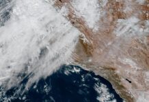
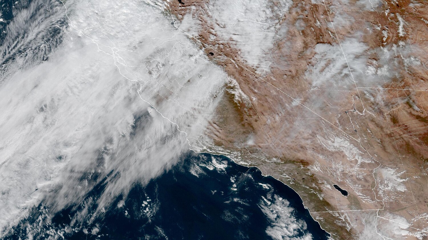
Two storms are lined up behind each other this week. A weak cold front brings light rain Sunday night into Monday night. Then a much stronger Pacific storm moves in Wednesday night and lingers through Thursday night. That second system is the one the National Weather Service office in Oxnard is watching closely. In its Saturday afternoon forecast discussion, the office said it carries the greatest risk of significant impacts and flooding of anything in the forecast, with moderate to heavy rain possible.
That language is a step up. On Saturday morning the same office was calling the flood risk low and forecasting 1 to 2 inches. By Saturday afternoon, totals were raised to 1 to 3 inches, with 3 to 5 inches possible on favored south-facing slopes. The front face of the San Gabriels is exactly that kind of slope.
The Day-by-Day Forecast for Pasadena and South Pasadena
Sunday Afternoon: Mostly sunny with a high near 71. Light breezes.
Sunday Night: Clouds increase. A 20 percent chance of rain after 10 p.m. Low around 56.
Monday, Nov. 16: Mostly cloudy with a 20 percent chance of rain during the day. High near 70.
Monday Night: A 50 percent chance of rain as the front passes, then clearing after midnight. Less than a tenth of an inch is expected locally. Low around 50, noticeably colder.
Tuesday, Nov. 17: Sunny and cool with a high near 67. Northwest breeze 5 to 10 mph. Tuesday night drops to around 46, the coldest night so far this season for many neighborhoods.
Wednesday, Nov. 18: Mostly sunny during the day with a high near 66. Clouds build later.
Wednesday Night: Rain chances begin between 10 p.m. and 4 a.m., then rain and possible thunderstorms after 4 a.m. Low around 51.
Thursday, Nov. 19: Rain, possibly with a thunderstorm. Cloudy and cold for Pasadena, with a high near 62.
Thursday Night: Rain likely, mainly before 10 p.m., then tapering to lingering showers. Low around 46.
Friday, Nov. 20: A few morning showers possible, then sunny. High near 64.
Saturday, Nov. 21: Sunny and dry with a slight warm-up. High near 66.
Expected Rain Intensity:
Monday’s Front: About a third of an inch or less across the region, and the weather service describes this front as not especially impressive. The best totals go to northwest San Luis Obispo County and the eastern San Gabriel Mountains. Pasadena’s own forecast calls for less than a tenth of an inch.

Wednesday Night Through Thursday Night: Forecast models show 1 to 3 inches across the region, with local amounts of 3 to 5 inches on favored south-facing slopes. Southerly winds pushing moist air up against the foothills could boost totals along the 210 corridor. Ensemble forecasts, which run the models many times with slight variations, are leaning toward a stronger storm than earlier runs showed.
Forecasters say the totals could still change noticeably. Their confidence in significant, widespread rain is increasing. Their confidence in the exact timing is only moderate.
The Timing On The Storms Is Still In Play
The European forecast model is faster with Thursday’s front than the American GFS model. A faster arrival puts heavier rain over the Thursday morning commute. A slower one shifts it toward Thursday afternoon and the evening drive. Watch the weather service discussions Monday night and Tuesday. That is when the timing should start to firm up.
Around the Region/LA Areas
Downtown Los Angeles and the LA Basin: Similar timing to Pasadena. Light rain Monday, heavier rain Wednesday night through Thursday night. The weather service gives a slight chance of thunderstorms in southeastern Los Angeles County late Monday night.
San Gabriel Valley: Same two-storm pattern. Foothill communities from La Cañada Flintridge east through Altadena, Sierra Madre, Arcadia, Monrovia and Azusa will run at the wetter end of Thursday’s range.
Glendale, Burbank and the San Fernando Valley: Light rain Monday, a solid soaking Thursday, and a cool week with highs mostly in the 60s.
San Gabriel Mountains: Snow levels drop to around 5,500 feet Monday evening and night, so a dusting is possible on the higher peaks along Angeles Crest Highway. The heaviest mountain rain of the week comes Thursday on the south-facing slopes.
Burn Area Residents: Keep Your Phone Alerts On Thursday
Friday’s storm offered a reminder of how quickly the Eaton Fire burn scar reacts. Before dawn on Friday, Nov. 13, scattered heavy showers moved over the burn area, and the weather service issued a flood advisory for northeast Pasadena, Altadena and Sierra Madre. Radar estimated rainfall rates of half an inch to seven-tenths of an inch per hour, and forecasters reported minor flooding or shallow debris flows.
Thursday’s storm is forecast to be considerably bigger than Friday’s. As of the latest weather service discussion, no flood watch had been issued. Residents near the burn area should keep emergency alerts on, check the Los Angeles County evacuation map for their address, and clear drains and gutters before Wednesday night.
Beaches: Big Surf Continues Through Tuesday
Very large, long-period west-northwest swells continue to batter the coast, with a second rise in surf expected Monday. A High Surf Advisory remains in effect for west-facing Los Angeles and Ventura County beaches until 3 p.m. Tuesday. Expect beach erosion and seawater flooding of low-lying beach lots and walkways, especially near high tide. Rip currents and sneaker waves make this a week to stay out of the water and off the rocks and jetties.
Remember to check flashlights and phone chargers are ready in case of power outages.