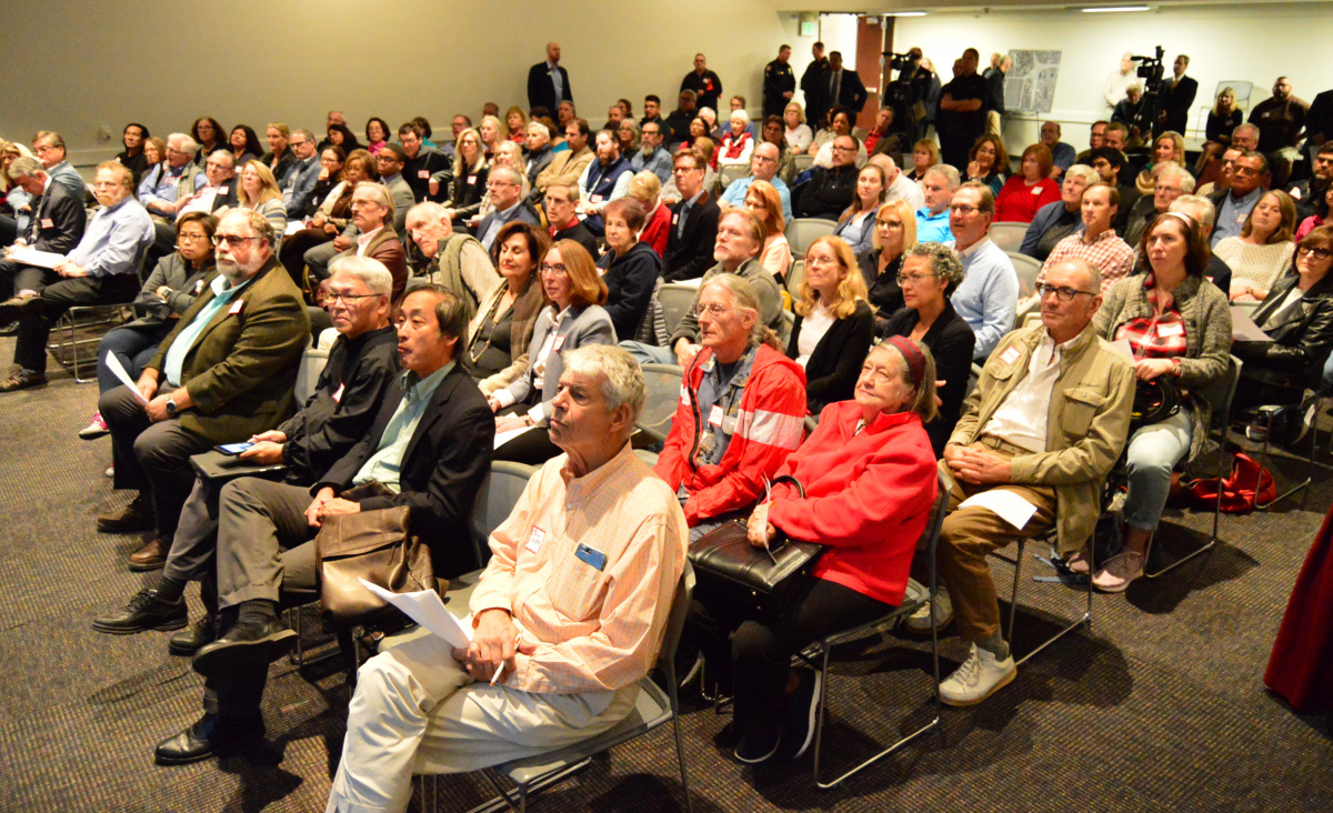
When it comes to the future of the 710 Freeway stub in Pasadena, “nothing has been decided” according to sixth district Pasadena Councilman Steve Madison. Despite what you may have heard about the Connecting Pasadena Project or other ideas to “fill the 710 ditch,” a vision for development of the 50-acre site will emerge only through a “long process of outreach and community participation” pursuant to the “Pasadena Way,” Madison said at a Nov. 13 public meeting at the city’s convention center.
“In Pasadena, even a done deal isn’t a done deal sometimes,” he observed. The CPP, which was a grass root project aimed mainly at providing a vision to counter a freeway, wasn’t funded by or ever approved by the city.
Caltrans has held the land throughout its futile, decades-long quest to close the 710 North Gap. But under newly signed legislation, once the California Transportation Commission (CTC) that oversees Caltrans signs off on an agreement with the city, title to the site will be relinquished to the City of Pasadena.
But there’s a long way to go: the area isn’t even zoned and there is no existing plan of development. Caltrans and the city must complete a feasibility assessment to take to the CTC, provide for the transportation system management/transportation demand-management (TSM/TDM) provisions of last year’s 710 North environmental review, and the city will likely need to adopt a Specific Plan that will in turn will require its own environmental review.
And that’s just the overview!
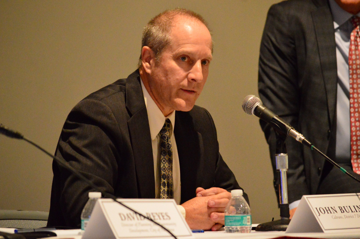
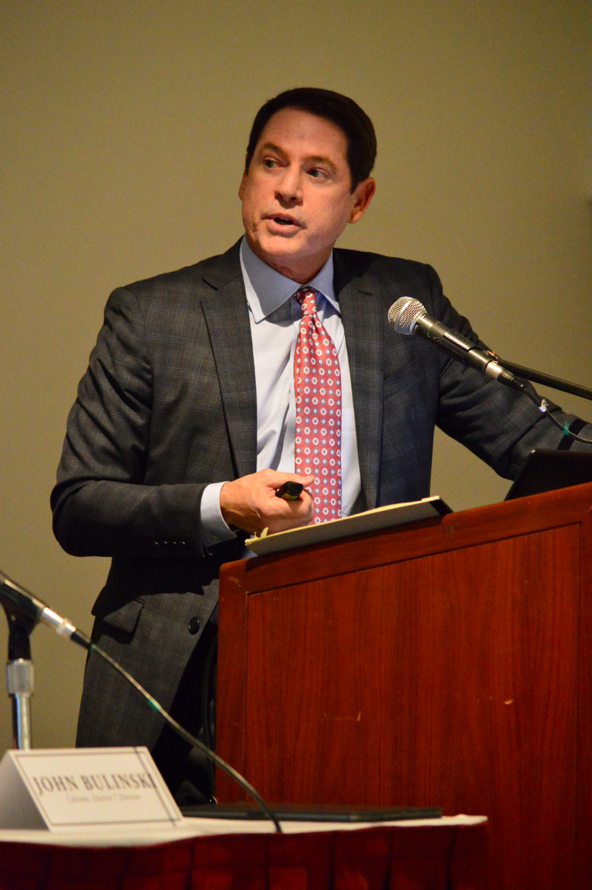
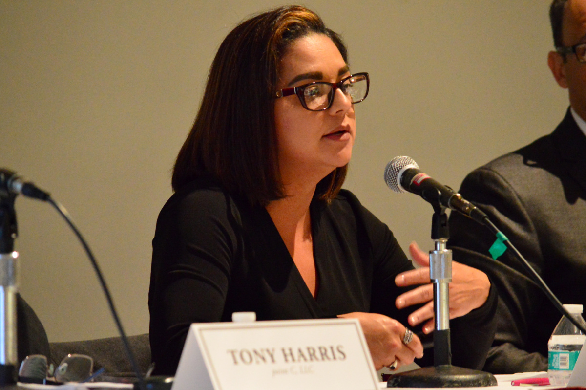
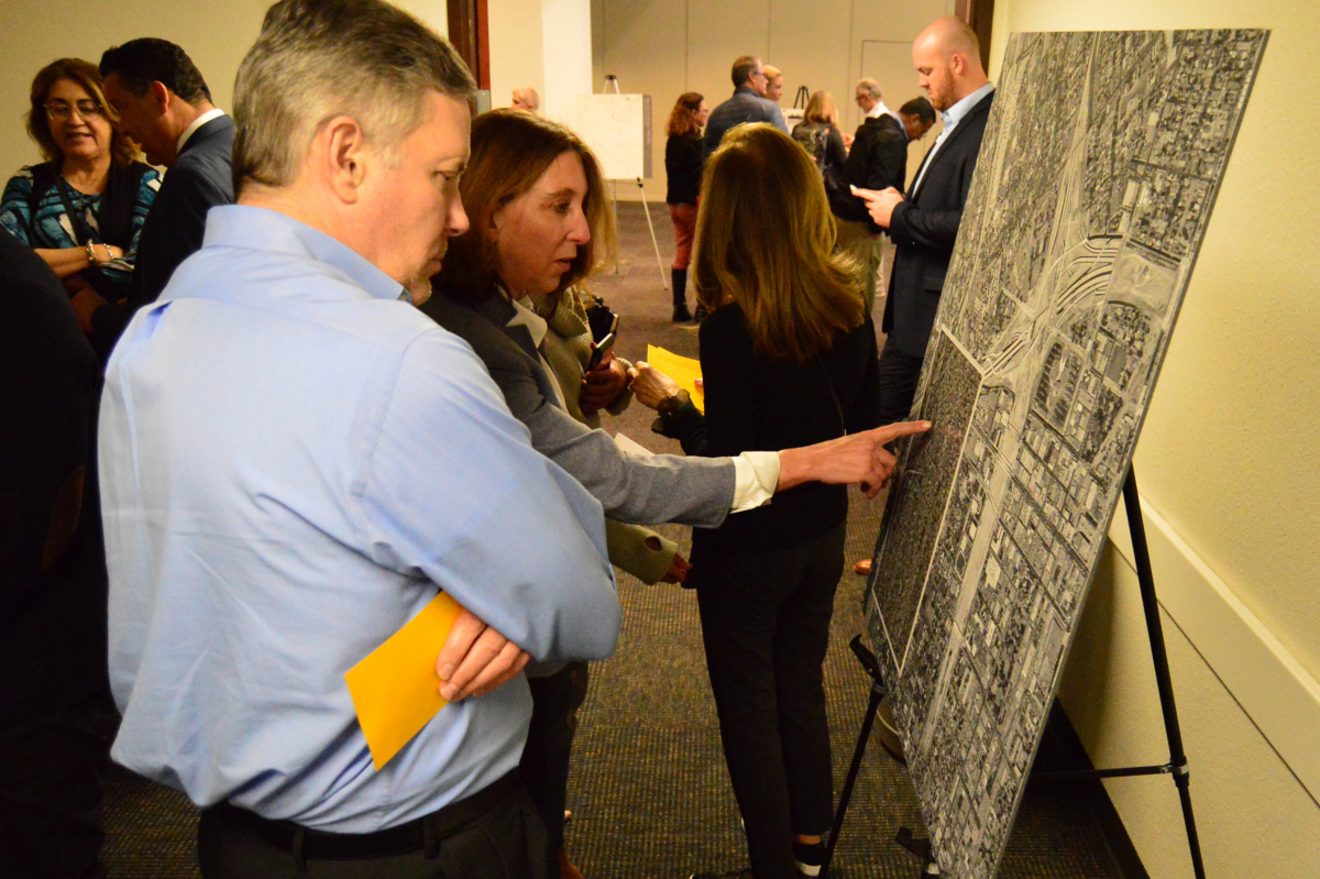
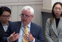
At the meeting, Madison, Caltrans District 7 Director John Bulinski, city consultant Tony Harris of PointC and two city officials, Director of Transportation Laura Comejo and Director of Planning and Community Development David Reyes, laid out the state of planning for the area, generally understood as a rectangle just short of a mile in length circumscribed by Walnut Street on the north, California St. on the south, St. John Ave. on the west and Pasadena Ave on the east.
The group was at pains to stress the situation provides a once-in-a-lifetime redevelopment opportunity as well as their intent that Caltrans and the city will work in partnership.
Reyes estimated that in roughly six months staff will have a better idea of “potentially where we might want to go” and seek guidance from the city council. Within a year, the work will get folded into the third phase of the Specific Plan process the city will be undertaking through 2021.
Madison said planning would be informed by several considerations. Among these, “the tremendous pressure we are under from the state to add housing”; Caltrans’ requirements to meet regional transportation objectives; whether to reconnect severed east-west streets; widen or add sidewalks and trees or alter one-or two-way road configurations; and the concept “many of us are attracted to” of meaningful public space such as an esplanade with ample park and recreational like Boston’s Commonwealth Avenue, a parkway with a wide grassy mall down its center.
Madison believes the plan should be “deferential” to the area’s history as vibrant, predominantly African-American neighborhood that was demolished in the 1960s along with at least two churches to make way for the freeway. Consistency with the vast Westgate Apartment complex east of the ditch should also be a factor, he said.
Harris said the primary factors to consider are safety and functionality. He said once the boundaries of the rights-of-way are set and it is decided which portions of the “transportation system” must remain, more detailed talk on designs and agreements will ensue, followed by a formal process.
Comejo said over the next few months the city will work with Caltrans to develop a “very high level” feasibility assessment to reconcile Caltrans’ objective of determining how people will access the 134 and 210 highways with the city’s objective of “reconnecting neighborhoods and a street grid that helps facilitate mobility and access. What we will not do is predetermine a street grid.” The parties will also look at the costs involved and the condition of the corridor so they will have enough information to take to the CTC.
Under a section of Sen. Portantino’s SB 7, the state and city would enter a relinquishment agreement to which the CTC may add terms and conditions and approve only if it believes the deal is “in the best interest of the state.” The CTC may use that opportunity to enforce some of the state’s affordable housing goals.
“There the irony is palpable,” Madison observed. “With all due respect to the state, on the one hand strongly pressuring us to provide affordable housing but on the other hand owning hundreds of homes” in the former 710 corridor that could be surplused or turned over to the city for that very purpose, he said to applause.
“We are not a property management department,” Caltrans’ Bulinski said. “I’m sure many of you will agree with that,” he said to some laughter. “Our expertise is managing transportation. Our expertise is not managing properties. My goal is to do everything I can to get these [houses] out of our ownership and into the ownership of those people that need them.” He said the agency is constrained by a raft of legislative requirements, the need to develop and implement the appropriate regulations and in particular by an ongoing lawsuit from the tenants’ union.

Comejo, the city’s transportation director, said “There is a lot to consider.” This includes the undetermined status of major projects such as the route of Metro’s North Hollywood-to-Pasadena Metro Bus Rapid Transit corridor currently in early environmental review, the prospective $230 million Gold Line grade separation at California Street and some of the city’s “Complete Streets” projects.
Reyes said once these outcomes are known, the city will begin to reclaim the land and “determine what the future use will look like.” He said an internal working group of city staff and PointC personnel is already working with Caltrans and while it will not get into the technical issues of “how off ramps should work” it will coordinate on preserving future land use patterns so as not to preclude things the community wants.
Reyes emphasized the import of community input. But while the planning process will include infrastructure, land use, density/intensity, design standards and community outreach, he said “there is a lot of work to be done before we can be serious about entertaining ideas.”
Nonetheless, “we want to hear from you” Madison said.
Caltrans’ Bulinski stressed the need to implement the TSM/TDM provisions of the 710 North EIR, warning that failure to do so could force a new environmental review. Some 45,000 vehicles use the northern stub daily, he noted. “We need to make sure we are providing an efficient system for those vehicles to continue that use,” which does not mean the existing network cannot be modified. The question is “how to mesh the needs the community with the needs of the transportation system so they can work together.”





.png)


