












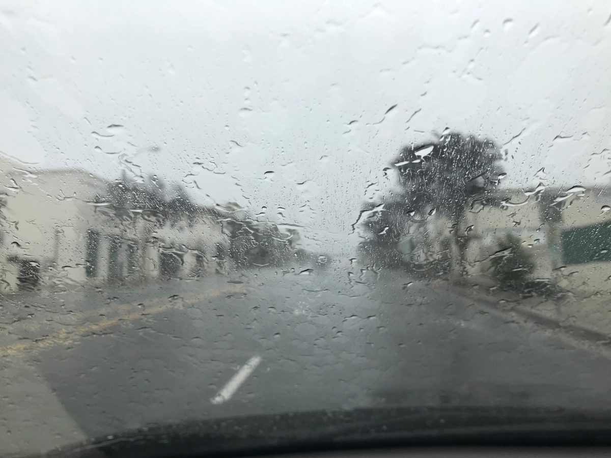

WEATHER UPDATE: Tuesday, Nov. 17 Through Sunday, Nov. 22
Monday’s front was the warm-up act. The main event arrives Wednesday night.
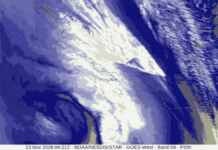
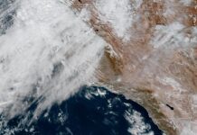
The National Weather Service office in Oxnard says the midweek storm carries a real risk of flooding and thunderstorms, and forecasters said Monday night they will likely need flood watches, with that decision coming Tuesday. Climate scientist Daniel Swain of UC Agriculture and Natural Resources says it could bring the most significant widespread rainfall of the season so far.
What Changed Since Sunday
Rain Rates Went Up: Forecasters now say rain may fall at close to 1 inch per hour at the peak, especially in the mountains. That’s the number that matters for flooding and burn areas.
Totals Held Steady: 1 to 3 inches for the coast and valleys, highest in the foothills, with isolated 5-inch totals possible on south-facing mountain slopes. The front face of the San Gabriels is exactly that kind of slope.
The Front Got Faster: Newer forecast models move the front through more quickly. That could trim total rainfall, but forecasters say the rain rates still look high. Translation: less time raining, harder while it lasts. Much of the heaviest rain could fall in a burst of just three to six hours as the front passes.
Wind Is Now a Big Part of the Story: Widespread gusts of 30 to 50 mph are expected, with 40 to 60 mph across the mountains and interior foothills. Strong winds on rain-soaked ground raise the risk of downed trees and power outages.
The Day-by-Day Forecast for Pasadena and South Pasadena
Tuesday: Dry and noticeably colder after Monday’s light rain, with highs mostly in the 50s and 60s across the region.
Tuesday Night: The coldest night so far this season. Frost is possible in colder spots, and freezing temperatures are likely in the interior and mountains. Cover tender plants.
Wednesday: Dry for most of the day. Rain moves back in later Wednesday, with winds picking up.
Wednesday Night: The storm arrives in force. Heavy rain, strong gusts and possible thunderstorms. This is the peak.
Thursday: Heavy rain continues into Thursday morning, then tapers to showers. Snow showers may linger in the mountains into Thursday evening.
Friday: Likely dry, with temperatures rebounding and a light offshore breeze.
Saturday and Sunday: Forecasters have low confidence. A weakening front could bring light showers around Sunday, mostly on the Central Coast.
Flooding Risk
The federal Weather Prediction Center has placed the Los Angeles metro area under a Level 2 of 4 flash flood risk for Thursday. Areas near wildfire burn scars are especially vulnerable to flooding and debris flows.
Residents below the Eaton Fire burn area in Altadena and Sierra Madre, and anyone in a canyon or along a wash, should know their evacuation route tonight, keep phone emergency alerts on, and follow any evacuation warnings from Los Angeles County.
Mountain Areas
Snow levels start above 7,500 feet, then drop to 6,000 to 7,500 feet after the front passes. Heavy snow is possible above 8,000 feet, with light accumulations down to about 6,500 feet. Expect chain controls on higher stretches of Angeles Crest Highway, and check with CalTrans before heading up.
Beach Areas
Big surf continues, and another, larger swell is expected late Wednesday through Thursday that could reach warning levels.