














Sunday Evening 6 PM Weather Update:
Heaviest Downpour Of The Day Hits Pasadena/South Pasadena Areas; Rain Ends Tonight, Sunny Labor Day Still On Track
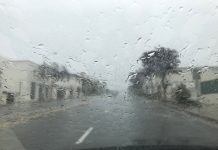
The day’s hardest rain arrived in South Pasadena late this afternoon — a solid hour of heavy downpour beginning around 5 PM, the strongest since the storm began at 6 AM. It fits the pattern forecasters warned about: mostly light to moderate rain, with embedded heavier cells dropping rain at up to a half inch per hour.
As Of This Update
Rain has fallen nearly continuously in the Pasadena Metro area, soaking South Pasadena since 6 AM, with only brief breaks. The National Weather Service reported Sunday afternoon that totals across Los Angeles County ran 0.25 to 0.75 inches, with another 0.10 to 0.25 inches possible before the system winds down — and San Gabriel Valley foothill communities were expected to land at the higher end.
A flood advisory covers eastern Los Angeles County, including the Summit and Bridge burn scars, until 7:45 PM, with arroyo and small stream flooding possible. If you encounter a flooded road, turn around.
Coastal flooding was reported earlier today at Seal Beach and Zuma Beach parking lots, with water flowing into homes and streets in Long Beach — driven by Marie’s surf as much as its rain.
The Next 12 Hours
Showers taper this evening. The chance drops to 20 percent before 11 PM, then skies gradually clear overnight with a muggy low around 69. By sunrise Monday the storm is done: Labor Day remains sunny with a high near 91. Watch for ponded water and debris on roads through the evening commute hours, and remember the pavement stays slick after months of accumulated oil.

The Week Ahead — No Changes
The forecast issued this morning holds. Labor Day sunny, 91. Tuesday mostly sunny, 94. Wednesday sunny and hot, 97. Thursday 96. Friday 92, easing to 87 by Saturday. Warm nights near 70 through midweek. Hurricane Marie continues weakening offshore and becomes a post-tropical remnant by Wednesday.
High Surf Warning – Dangerous Ocean Conditions for LA County Beaches
Two reasons. Marie’s swell keeps high surf and dangerous rip currents going through Tuesday night. And the Los Angeles County Department of Public Health has issued an ocean water quality advisory for all county beaches until at least 2 PM Wednesday — runoff from today’s rain carries bacteria and debris, and swimmers should avoid water contact for 72 hours after rainfall.
The rain finishes tonight.
Morning Report 10 AM Sunday Sept. 6 _________________________
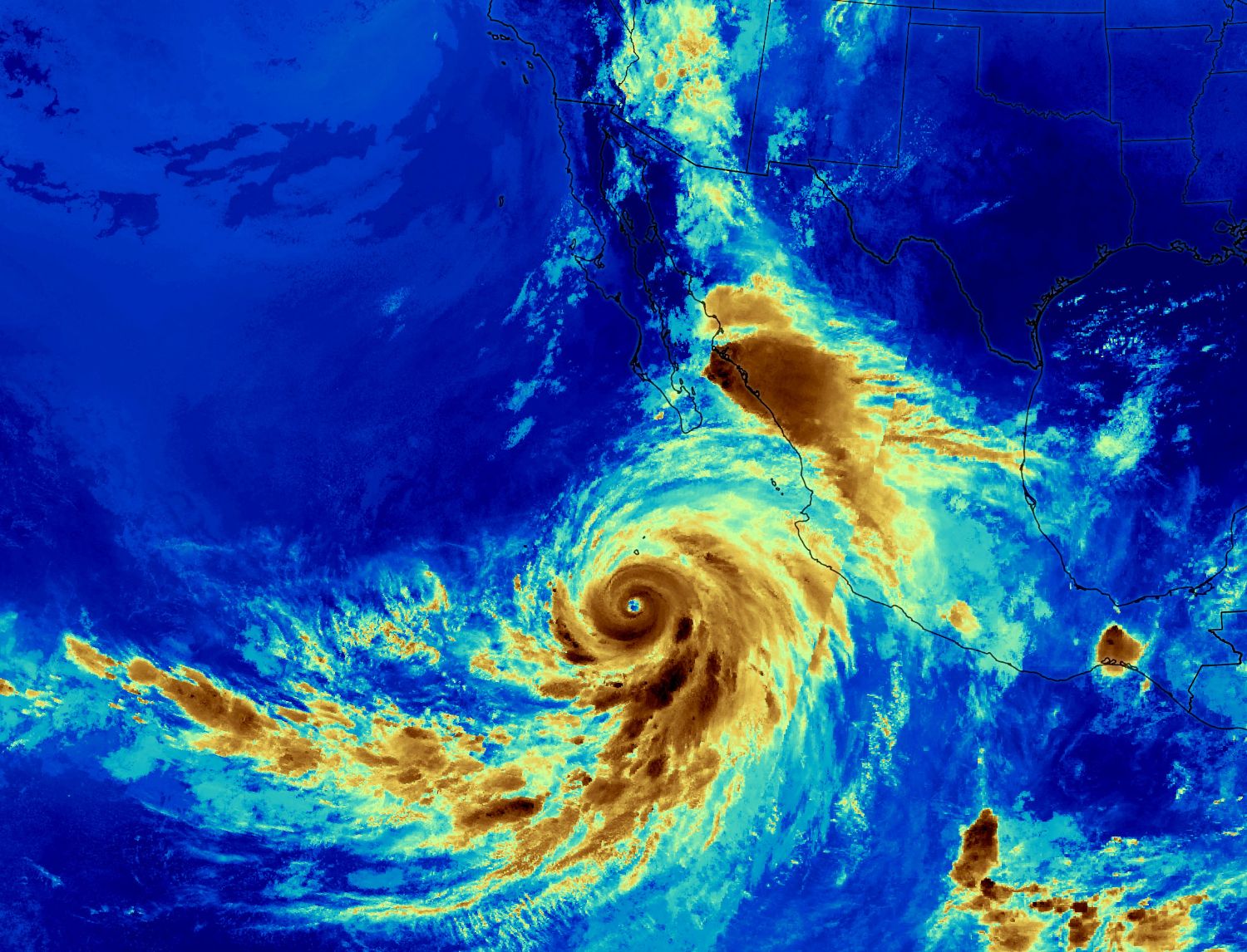
The steady rain falling across South Pasadena since early Sunday morning is Hurricane Marie’s calling card — tropical moisture flung hundreds of miles ahead of a storm whose center never got closer than well offshore. Expect on-and-off showers through the afternoon and into this evening, a possible thunderstorm, then a hard pivot: sunny skies for Labor Day and a surge to near 100 degrees by midweek.
Sunday Rain
The National Weather Service forecast for the Pasadena and South Pasadena area, updated at 9:11 AM, puts today’s rain chance at 90 percent with a high near 83. Thunderstorms are possible after 11 AM — forecasters put the chance at about 15 percent for Los Angeles County. Expected local totals are a quarter to a half inch, and a weather service bulletin says widespread totals of a quarter inch to an inch are likely across much of Los Angeles County, with the heaviest rain favoring the foothill and mountain communities. Some areas picked up a tenth of an inch per half hour in the morning’s heavier bands.
Showers taper this evening — the chance drops to 20 percent after dark and skies gradually clear overnight, with a muggy low around 69.
This is the first measurable rain in months, which means slick roads as accumulated oil lifts off the pavement. Give extra following distance, and expect ponding where storm drains are clogged with a summer’s worth of debris.
Hurricane Marie’s Status
As of Saturday afternoon, Hurricane Marie was about 815 nautical miles south-southwest of Los Angeles, tracking northwest to north and weakening. The National Hurricane Center expects it to become a post-tropical remnant low by Wednesday. Its remnant moisture could still support isolated showers or thunderstorms Monday and Tuesday, mainly over the mountains.
Forecast: Back to the heat this week, after Sunday’s warm soaker:
Labor Day: Sunny, high 91. A fine holiday — dry by morning.
Tuesday: Mostly sunny, 94. Isolated mountain showers can’t be ruled out.
Wednesday: Sunny and hot, 97.
Thursday: Sunny and hot, 96.
Friday: Sunny, 92.
Saturday: Sunny, 87.
Overnight lows hold near 70 through midweek — warm, humid nights that don’t give houses much chance to cool. That is a roughly 15-degree swing from today’s high in three days: anyone sensitive to heat should plan now for Wednesday and Thursday, and today’s rain is no reason to skip watering deep-rooted plants later in the week.
Beaches Still Dangerous Through Tuesday
The ocean remains the most serious hazard of Marie’s passage. High surf and coastal flood advisories continue, with 5- to 8-foot waves on south-facing beaches and some sets near 10 feet through Monday. Potentially deadly rip currents, strong harbor surges, and moderate coastal flooding with beach erosion are expected at vulnerable south-facing beaches; some coastal communities have already seen wave-driven flooding. Dangerous swimming conditions last through Tuesday night. Swim near a lifeguard, keep children at the water’s edge, and stay off rock jetties.