

















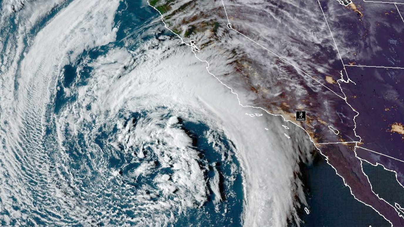

Southern California is in for a wet week as two back-to-back storms move into the region. The first storm is expected to arrive late Monday night into Tuesday, bringing steady rain across Los Angeles County. Forecasters predict at least an inch of rain in most areas, with the foothills and mountains potentially seeing up to four inches. Thunderstorms are also a possibility.
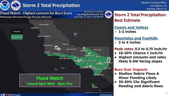
A stronger second storm is set to move in Wednesday, bringing moderate to heavy rainfall. A Flood Watch will be in effect from Wednesday at 6 p.m. through Thursday at 6 p.m., with potential for minor flooding and debris flows, particularly in areas near recent wildfire burn scars.
Flood Watch in Effect: Wednesday 6 p.m. – Thursday 6 p.m.
Los Angeles County Public Works is actively monitoring flood control systems and has reinforced protective measures from previous storms, including the deployment of thousands of feet of K-rails in the Palisades and Eaton burn areas to mitigate flood and debris flow risks.
Residents with concerns about mudflows or debris flows can call the LA County Mudflow Advice Hotline at 800-933-0930 for guidance.
For additional storm preparedness tips and emergency alerts, visit READY.LACounty.gov.
Stay safe and stay tuned to The South Pasadenan for updates.