
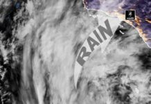


















South Pasadena and the greater Los Angeles area are in for an active weather pattern this week, with multiple storm systems bringing rain to Southern California. While the heaviest precipitation will be concentrated to our north, we can still expect some wet conditions throughout the week; according to the National Weather Service report.
Monday: A Mix of Clouds and Sun
The lingering atmospheric river is primarily affecting Northern California and Southern Oregon, with only a slight chance of light rain reaching as far south as Santa Barbara County. Here in Los Angeles County, we’ll experience increasing cloud cover but remain dry, with daytime highs in the comfortable 65-75°F range.
Tuesday-Wednesday: First Storm System Brings Widespread Rain
Starting early Tuesday, a storm system will push down the coast, delivering light to moderate rainfall across the region. The heaviest rain is expected Tuesday afternoon through Wednesday morning, with up to 1 inch of rain possible in Los Angeles County.
- Heaviest rainfall: San Luis Obispo, Santa Barbara, and Ventura Counties, where 0.75 to 2 inches are expected (higher totals in the mountains).
- Thunderstorm risk: Low, though there is a small chance of brief convective showers.
- Snow levels: 6,500-8,000 feet—only the highest peaks will see snow.
- Winds: Breezy south-to-southwest winds, particularly along the Central Coast and higher elevations.
Daytime highs will cool to the upper 50s to low 60s due to cloud cover and rain.

Thursday-Friday: A Second Storm Arrives
While rain chances decrease slightly Thursday morning, another stronger storm system will arrive later in the day and last through Friday. This system will be more focused south of Point Conception, meaning heavier rain for the Santa Barbara South Coast, Malibu, and the San Gabriel Foothills.
- Rain totals: 0.5 to 1 inch across most of Los Angeles County, with up to 2 inches in foothill and mountain areas.
- Possible thunderstorms: A slight (10%) chance of isolated thunderstorms or heavier convective showers.
- Snow levels: Remaining high, keeping snow limited to the highest elevations.
Next Weekend: Drying Out
After an active workweek, the weekend looks to bring drier and calmer conditions across Southern California, giving us a break from the rain.
Key Takeaways for South Pasadena:
Expect increasing clouds Monday, but dry conditions.
Rain arrives Tuesday, with light to moderate showers through Wednesday.
A second, stronger storm hits Thursday-Friday, bringing another round of steady rainfall.
Weekend coming-up is forecast to be dry, with a return to normal winter conditions.
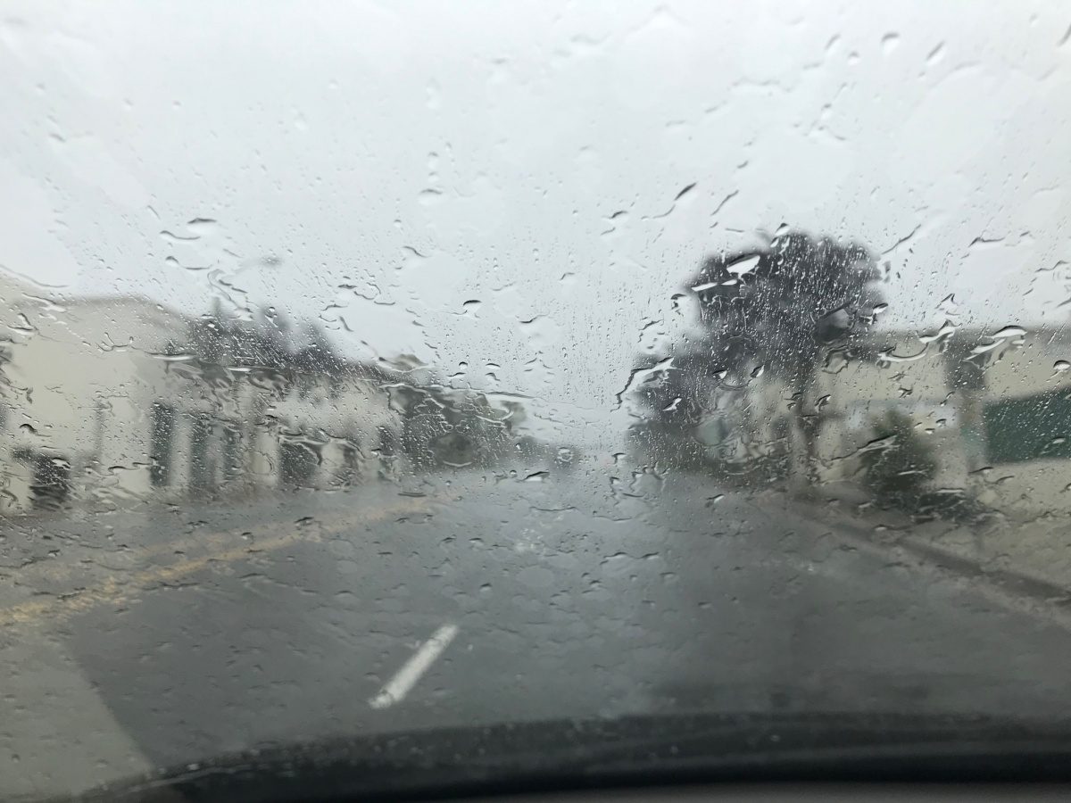
South Pasadena residents should be prepared for wet commutes midweek and keep an eye on updated forecasts. While flooding concerns remain low, The Eaton Fire affected areas of Altadena and Pasadena could cause heaver, irregular, debris-laden runoff into the neighborhoods below.
Stay tuned for further updates as the storms develop.