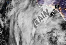















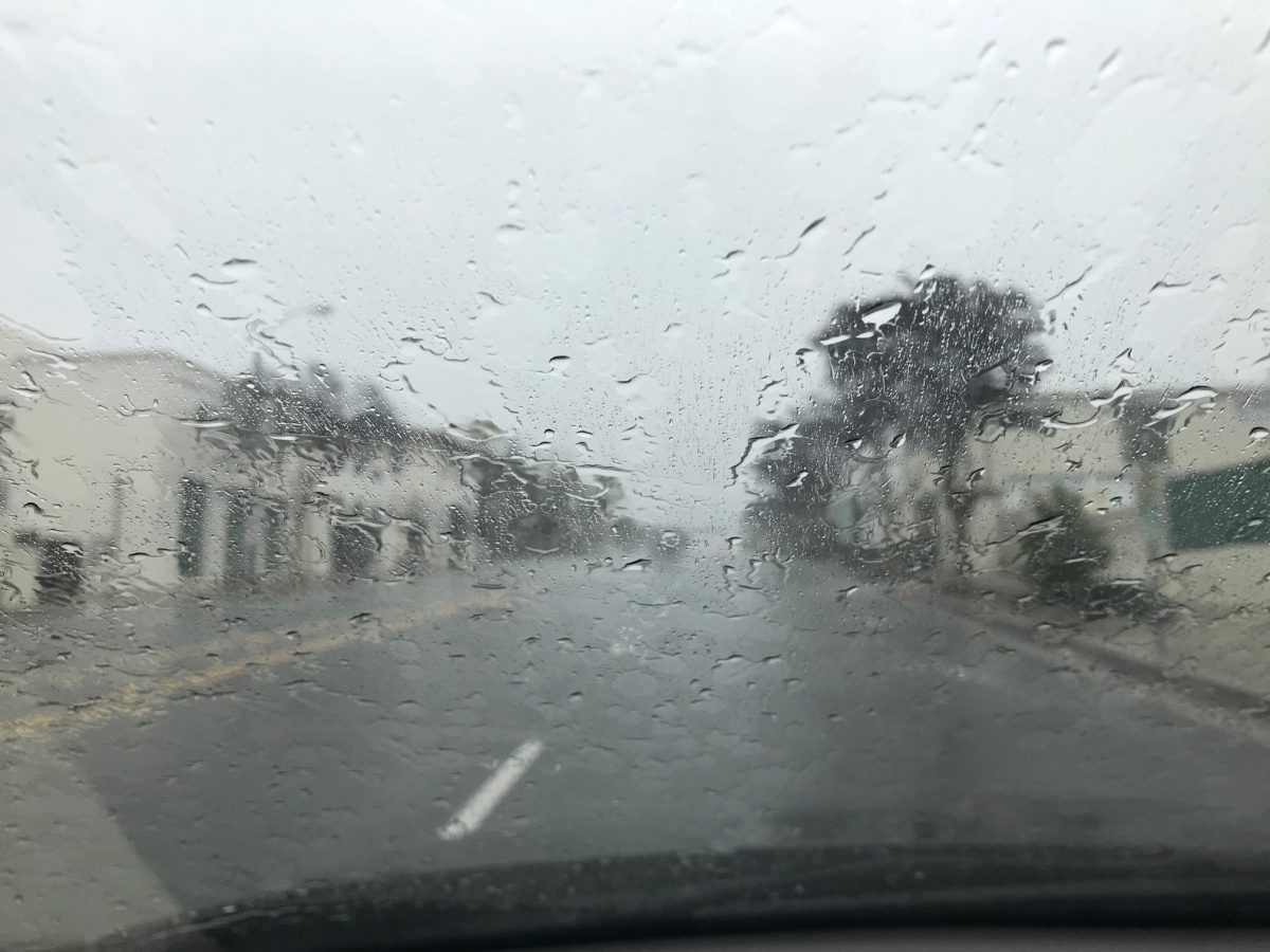

The first significant storm of the season. The heaviest rain for Los Angeles County lands tonight into Thursday morning, with a chance of thunderstorms. Then the switch flips: dry offshore winds, clear skies and warming temperatures by the weekend.
The Quick Version
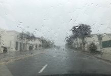
• Rain arrives this evening and gets heavy overnight
• About three quarters of an inch to one inch possible tonight alone in the Pasadena-area forecast
• Thunderstorms possible after 11 p.m. tonight and again Thursday
• Storm totals across the region mostly 1 to 1.5 inches, 2 to 3 inches in the foothills
• Showers wind down Thursday afternoon, west to east
• Friday turns sunny and breezy as a weak Santa Ana kicks in
• Saturday is the windiest day, with 30 to 40 mph gusts in the valleys
• Sunday is sunny and warming toward 80
Wednesday Night, October 21
• Rain, with thunderstorms possible after 11 p.m.
• Chance of rain: 100 percent
• New rainfall: three quarters of an inch to one inch possible
• Low around 54
• South-southeast wind 5 to 10 mph
• NWS puts the chance of a thunderstorm in L.A. County overnight at 20 to 30 percent
Thursday, October 22
• Showers and possibly a thunderstorm
• Chance of rain: 90 percent
• New rainfall: a quarter to half an inch possible
• High near 67
• Wind turning from southeast to southwest in the afternoon
• The steady rain breaks into showers in the morning as the core of the storm passes overhead, then fades in the afternoon as the system pulls out to the northeast

The Thursday Wild Card
• NWS forecasters flagged a very unstable air mass over the Los Angeles area Thursday
• That puts at least a 5 percent chance of a weak tornado on the table
• Any thunderstorm can bring sudden downpours; rain rates near one inch per hour hit Santa Barbara this morning
• Snow level stays above 8,000 feet, so no snow in the local mountains
Thursday Night, October 22
• 20 percent chance of a shower before 11 p.m.
• Partly cloudy
• Low around 53
Friday, October 23
• Sunny, high near 73
• Weak Santa Ana winds develop behind the storm
• Peak winds around 35 mph in the breeziest spots
• Clear Friday night, low around 53
Saturday, October 24
• Sunny, highs mid to upper 70s
• Windiest day of the stretch
• NWS calls for 30 to 40 mph gusts across coastal and valley areas, up to 50 mph in the mountains
• Temperatures jump 4 to 6 degrees from Friday
• Clear Saturday night, lows mid to upper 50s
Sunday, October 25
• Sunny, highs mid 70s to around 80
• Winds ease
• Mostly clear Sunday night, lows around 60
Flood Watch: Where It Is And Where It Is Not
• The NWS Flood Watch runs through Thursday afternoon for southern Santa Barbara County, the Santa Monica Mountains and the Malibu coast
• The San Gabriel Valley, including South Pasadena, is not under the Flood Watch
• The Weather Service still notes at least minor flooding is possible anywhere heavy rain sets up, so expect ponding on streets and in low spots overnight
• A Beach Hazards Statement covers parts of the L.A. County coast through late Thursday night
Looking Ahead
• Monday: sunny, highs around 80
• Tuesday: A little cooler as the offshore winds fade
• An early NWS check of long-range computer models shows dry conditions through the end of the month, which takes us right up to Halloween