















Forecast highs near 96° today and 98° Saturday, overnight lows in the low 70s, and an ozone alert on top of it. Here is the full eight-day outlook.
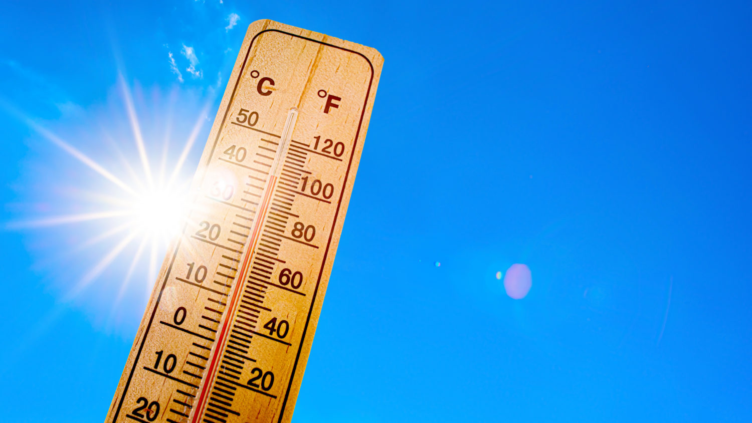
The National Weather Service has placed South Pasadena, Pasadena and the rest of the San Gabriel Valley under an Extreme Heat Warning that runs until 8 p.m. Sunday, August 2, as an unusually strong upper-level ridge parks itself over Southern California.
The warning covers a large stretch of southwest California, including the coastal ranges, adjacent foothills and the coastal valleys, with dangerously hot conditions and temperatures of 95° to 110° degrees expected. Forecasters in Oxnard wrote Friday morning that upper-level heights over the region are approaching a rarely seen 600 decameters, a benchmark that shows up only a handful of times in a given decade over this part of California.
For the local grid point covering South Pasadena and southern Pasadena, the National Weather Service is forecasting a high near 96 today, near 98° Saturday, and near 96° Sunday, with the heat easing only slowly into the middle of next week.
96° also happens to be the trigger point for South Pasadena’s cooling centers. That threshold is expected to be met through the weekend at least.
What Is Driving It
Forecasters described today and Saturday as the hottest days of this heat wave. The one piece of good news in the setup is that the onshore pressure gradient is expected to hold at least lightly onshore, which should allow a weak sea breeze to push some cooler marine air inland during the afternoon. Monsoon moisture is also not expected to be a factor, so the air will not feel as sticky as it did during last weekend’s heat.
The more serious problem is at night. Sea surface temperatures south of Point Conception are running in the 70s, and forecasters expect overnight lows to stay well above normal, generally in the mid 60s to mid 70s. Locally, the National Weather Service is calling for a low near 72° tonight and near 73° Saturday night.

That matters more than the daytime number. Heat illness is cumulative. When indoor temperatures never fully reset overnight, the body does not get its usual recovery window, and risk climbs on day two and day three of an event even if the afternoon high has not changed.
Air Quality Alert Also in Effect
The South Coast Air Quality Management District has issued a separate Air Quality Alert for harmful levels of ozone pollution, in effect until 8 p.m. Sunday. The alert covers the San Gabriel Valley, including Pasadena and San Gabriel, along with the San Fernando Valley, Santa Clarita Valley and points east.
Ozone levels typically peak in the afternoon and early evening, which overlaps almost exactly with the hottest part of each day. Air district officials note that ozone pollution can cause trouble breathing, asthma attacks and lung damage, with elevated risk for people with lung disease, older adults, pregnant people, children and anyone spending extended time outdoors.
Residents can check current and forecast conditions at aqmd.gov/alertinfo.
8-Day Forecast for South Pasadena & Pasadena
Figures are from the National Weather Service point forecast for 2 miles south-southwest of Pasadena, issued 10:31 a.m. Friday, July 31.
- Friday, July 31: Mostly cloudy early, then sunny and hot. High near 96°. Southwest wind around 5 mph in the afternoon. Low near 72°.
- Saturday, August 1: Sunny and hot. High near 98°, the peak of the event locally. South-southwest wind around 5 mph in the afternoon. Low near 73°.
- Sunday, August 2: Sunny and hot. High near 96°. South wind around 5 mph in the afternoon. Low near 66° as the warning expires at 8 p.m.
- Monday, August 3: Sunny. High near 93°. Low near 65°.
- Tuesday, August 4: Sunny. High near 93°. Low near 65°.
- Wednesday, August 5: Sunny. High near 93°. Low near 66°.
- Thursday, August 6: Sunny. High near 92°.
- Friday, August 7: Beyond the official seven-day forecast, but current model guidance keeps highs in the low 90s. Forecasters caution that monsoon moisture is expected to return next week, which would limit overnight cooling and keep humidity higher than normal. Heat hazards may continue into next week, and additional advisories are possible.
Even after the warning expires, temperatures are expected to run 3 to 6 degrees above normal through the week.
Heat Risk Warnings- National Weather Service
The National Weather Service maintains an experimental HeatRisk map that translates the raw forecast into a color-coded, five-level risk scale for each ZIP code, factoring in how unusual the heat is for the time of year, how long it lasts, whether nights bring relief, and whether the temperatures are associated with elevated health impacts.
The scale runs from green, meaning little to no risk, through yellow for minor, orange for moderate, red for major, and magenta for extreme, described by the agency as rare or long-duration extreme heat with no overnight relief affecting anyone without cooling or hydration, as well as health systems, industries and infrastructure.
Los Angeles County Public Health specifically recommends that residents check their own neighborhood on the HeatRisk map rather than relying on a regional number, since conditions vary considerably across the basin. The map is at wpc.ncep.noaa.gov/heatrisk.
Cooling Centers in South Pasadena
When temperatures reach 96 degrees or higher, the City of South Pasadena activates two designated cooling centers. Both offer air conditioning, public Wi-Fi, computer access and free reading material. Service animals are welcome. Pets are not permitted inside.
South Pasadena Senior Center, 1102 Oxley Street, open Monday through Friday, 8 a.m. to 5 p.m.
South Pasadena Public Library, 1100 Oxley Street, open Monday 10 a.m. to 6 p.m., Tuesday through Thursday 10 a.m. to 8 p.m., Friday and Saturday 10 a.m. to 6 p.m., and Sunday 1 p.m. to 5 p.m.
Additional county cooling centers, splash pads and community pools are listed at ready.lacounty.gov/heat. Residents can also dial 2-1-1 at any time for referrals, including assistance for people with disabilities and others with access and functional needs.
Neighboring San Gabriel has opened the Community Services Recreation Center at 250 South Mission Drive as a cooling center from Friday through Sunday, 8:30 a.m. to 8 p.m. each day, with the San Gabriel Library at 500 South Del Mar Avenue also serving as a cooling center during regular hours.
Staying Safe
- The National Weather Service recommends completing outdoor activity before 9 a.m. or after 7 p.m. and carrying a water source at all times. Additional guidance from the warning and from Los Angeles County Public Health:
- Drink plenty of fluids and stay in an air-conditioned room where possible.
- Check on relatives, neighbors and anyone living alone. Older adults, young children, pregnant people, outdoor workers, athletes and people with chronic medical conditions face the highest risk.
- Never leave children or pets in an unattended vehicle. Car interiors reach lethal temperatures within minutes.
- Wear lightweight, loose-fitting, light-colored clothing, and use sunscreen and a hat or umbrella outdoors.
- For outdoor work, OSHA recommends frequent rest breaks in shaded or air-conditioned areas. Anyone overcome by heat should be moved to a cool, shaded location. Heat stroke is a medical emergency. Call 911.
- To keep indoor air cleaner during the ozone alert, keep windows and doors closed, run air conditioning or an air purifier, and avoid whole-house fans or swamp coolers that pull in outside air if other cooling is available.
Check with your utility provider about the possibility of rolling outages, and plan ahead for how you would stay cool if power is interrupted.
If You Are Heading to the Beach
The heat will push a lot of people toward the coast this weekend, and conditions there carry their own hazard. Long-period south to southeast swells generated by distant Tropical Cyclone Genevieve are producing large surf and dangerous currents.
A High Surf Advisory is in effect for the south-facing beaches of Los Angeles and Ventura counties through Saturday afternoon, along with a Coastal Flood Advisory through 3 a.m. Saturday and Beach Hazards Statements for additional stretches of coastline. Forecasters report very strong, severe rip currents at some area beaches, with a risk of strong long-shore currents and sneaker waves.
Swim near a lifeguard, and ask before entering the water. Dangerous rip currents will be of particular concern through the weekend.
Sources: National Weather Service Los Angeles/Oxnard Area Forecast Discussion and point forecast issued July 31, 2026; NWS Extreme Heat Warning issued 10:24 a.m. July 31; South Coast AQMD Air Quality Alert issued July 30; NWS HeatRisk; City of South Pasadena; Los Angeles County Department of Public Health.