
















Hot weather changing quickly to rain – for a day or two.
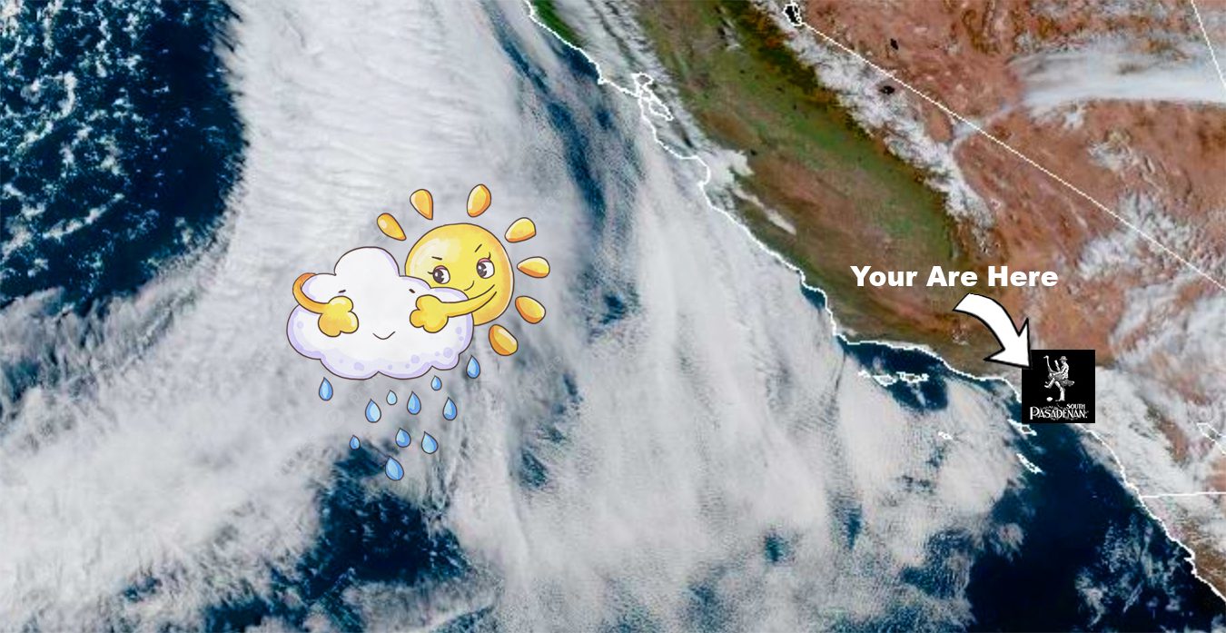
The National Weather Service (Los Angeles/Oxnard office) flags a cooling trend beginning Tuesday followed by rain likely Wednesday night into Thursday.
Monday
-
San Gabriel Valley floors (South Pasadena, Pasadena, San Marino, Alhambra): Expect another warm evening, with lows in the upper 50s to low 60s.
-
Morning fog or low-cloud bank possible near the coast and along foothill corridors, though inland zones will hold warm longer.
Tuesday
-
Daytime high temperatures drop compared with Monday — interior valley highs in the low 80s, cooler in foothill and coastal communities.
-
Morning fog or low clouds remain possible; afternoon sunshine likely.
-
Tuesday night: Marine layer redevelops; increasing clouds late.
Wednesday
-
Morning fog or low clouds during the commute; clearing mid-morning to partly sunny by afternoon. Highs will be in the low to mid-70s for valley zones.
-
Late Wednesday night: The first showers cannot be ruled out, particularly closer to the foothills, though amounts will be modest.
Thursday — Big Rain is Forecast
-
The core of the storm is expected to impact our region late Wednesday night through Thursday. The NWS discussion outlines a “moderate to strong storm … with PW’s around 1.5 inches” (precipitable water) and states “90 % of the rainfall should take place on Thursday.”
-
Rainfall estimates:
-
Valleys (South Pasadena, Pasadena, San Marino, Alhambra, Highland Park): Roughly 1–2 inches of rain.
-
Foothills (Altadena, La Cañada, other upslope zones): Possibly 2–4 inches, with a realistic chance of 4+ inches in the most favored upslope locations if the band stalls.
-
-
Timing & intensity: A solid 6–8-hour window of precipitation is likely, with 1–3-hour bursts where rates may approach 0.75″ per hour, and a ~20 % chance of 1″ per hour in the most intense segments.

-
The Usual Rainy Weather Issues
-
For valley areas: Urban runoff, ponding in low-spots, slower freeway commutes.
-
For foothills/burn-scar zones: Elevated risk of rapid runoff or debris flows—especially in recent fire-scar terrain above Pasadena and Altadena.
-
-
A Flood Watch may be issued in coming forecasts if consistency holds.
-
Snow: Unlikely below 6,000–8,000 ft. The system is primarily rain-driven for our elevations.
Friday
-
Rain tapers but a chance of showers persists, especially early in the day. Highs remain cool (around the low 60s). The bulk of the heavy rainfall will have passed; additional totals will likely be under ~0.5″ in most valley zones.
Weekend (Saturday–Sunday)
-
Dry trend returns. Cooler than typical, high temperatures largely in the 60s, lows approaching the upper 40s to low 50s. Good window for outdoor plans is indicated.
Plan Ahead, Slow Down & Be Extra Nice to Random Drivers
Commuting & Traffic
-
Thursday’s downpours will complicate travel. Hydroplaning hazards (ponding) on freeways and surface streets, reduced visibility in heavier rain, higher potential for accidents and spin-outs.
-
Major thoroughfares (110, 5, 10, 210, 605, 405) may see slower/blocking conditions. If you can shift non-essential travel to Tuesday or early Wednesday, that offers better weather.
-
Foothill and canyon routes may also be slower—think Altadena/La Cañada roads where runoff can accumulate and visibility drops.
Foothills & Burn‐Scar Zones
-
The possibility of 3–4+ inches of rain in foothills raises real concern for debris flows and runoff in steep terrain, particularly above recently burned slopes. Residents in those zones would do well to monitor local alerts and have an evacuation plan if necessary.
Valley Floors & Urban Areas
-
While flooding risk is lower than in terrain zones, be alert for drainage issues, clogged storm grates, and travel delays. Leaf-covered drains may reduce this area’s ability to shed water, so avoid basements and garages prone to flooding.
Weather for the Week
We transition from a very warm Monday into a classic late-fall Pacific storm by Thursday. The “big rainy day” for our region is Thursday: sustained rain, the possibility of heavier bursts, and non-trivial disruption for traffic and hillside communities. Outside of that window, conditions are moderate — Tuesday and Wednesday are cooler but manageable, and the weekend rebounds to dry but cool.
Plan accordingly: Wednesday night into Thursday is the window to watch. Whether you’re driving into downtown L.A., heading from the SGV to the coast, or living in the foothills, anticipate delays and hazards and stay tuned to any alerts from the National Weather Service.
The South Pasadenan will be covering the storm as it moves through South Pasadena – be on the lookout for downed tree(s), limbs, minor flooding in some streets, and power lines or power outages.