















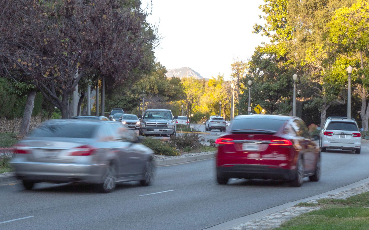

South Pasadena provides an interactive Traffic Study Map to help residents and motorists track frequently reported intersections and road segments throughout the city. The online tool pinpoints various hotspot locations across the area, offering detailed insights into municipal traffic evaluations.
Users can click on specific locations to view key information such as the date a report was received, the type of traffic study underway, and the current project status. The map also provides final results, estimated completion dates, and associated costs for planned improvements once evaluations are finished.
To view the interactive map and check traffic safety projects in your neighborhood, visit the South Pasadena Public Works Traffic Safety Improvements page.